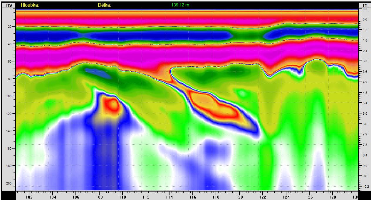
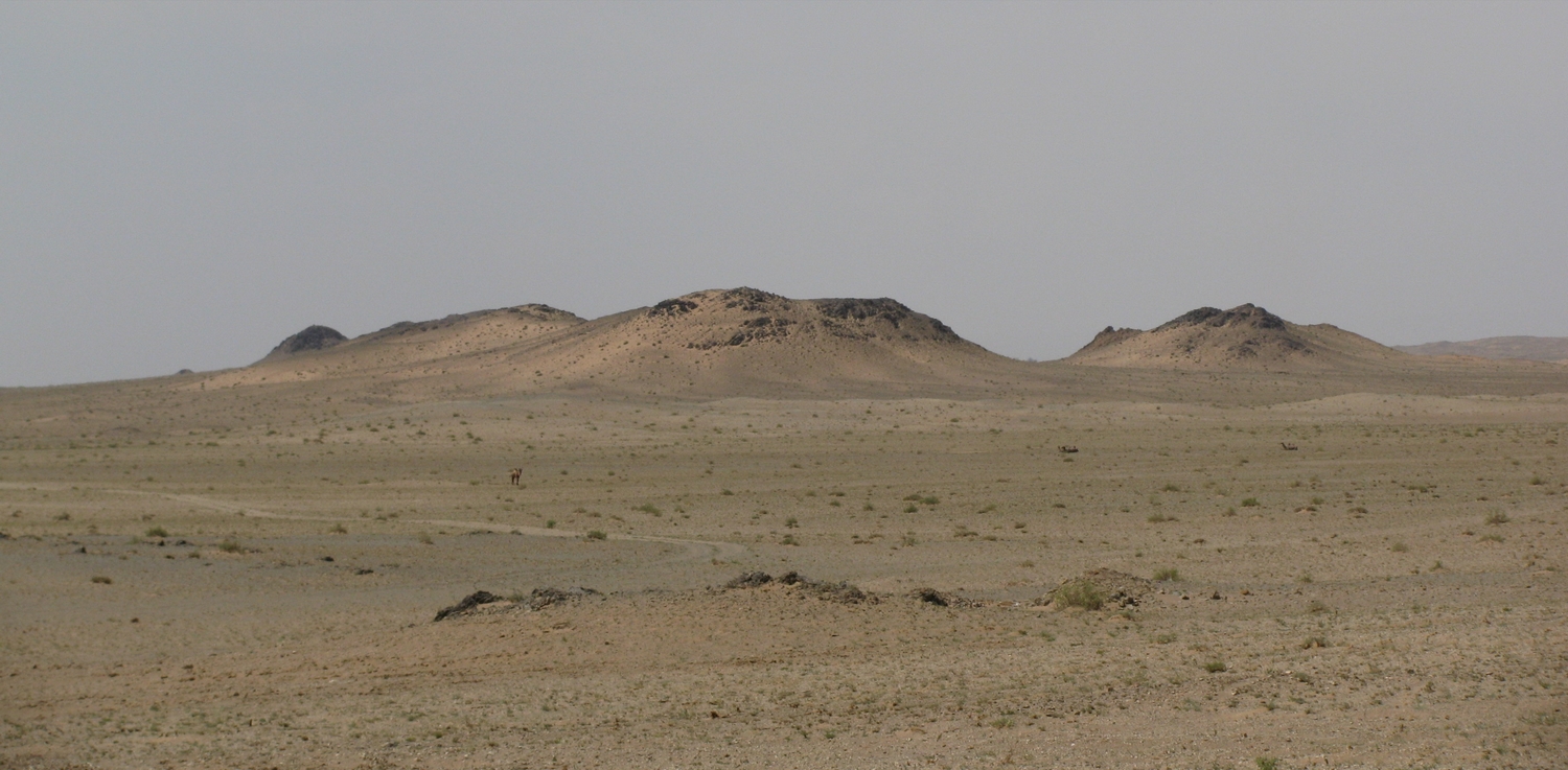
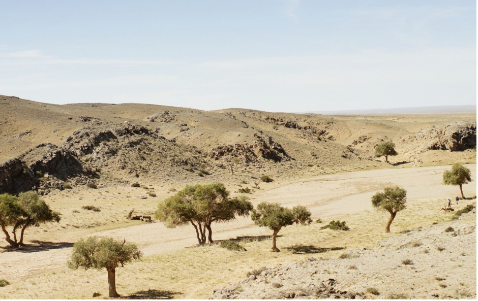
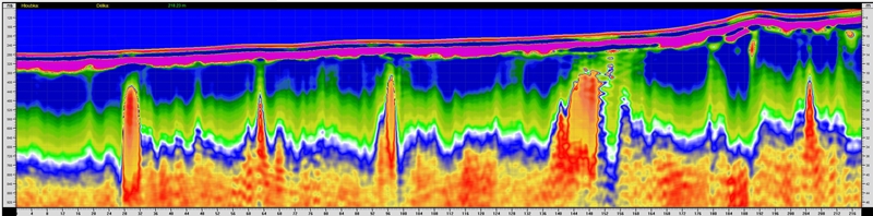
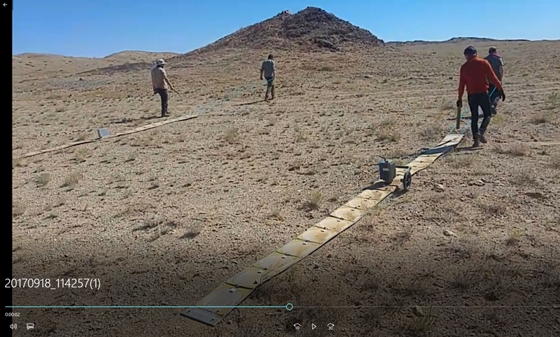
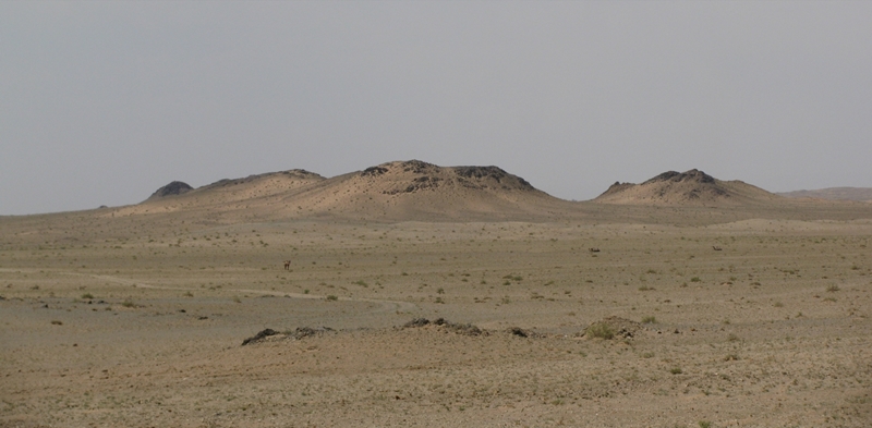
| Measurements in Mongolia took place in the Gobi Desert in several places. It was measured on stony soils and gravels. Geological faults, outcrops of ore veins were searched for, and the thicknesses of the gravel layers were measured. The landscape was without water, which helps us to better draw the individual layers. Nevertheless, the radargrams are contrasting and easy to read. The results are very good with the use of low frequencies, which can capture even small changes in the permittivity of materials.
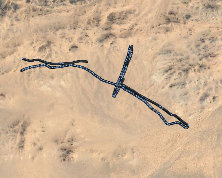
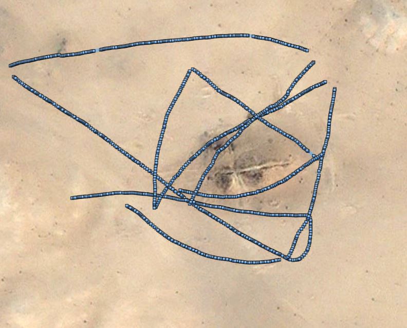
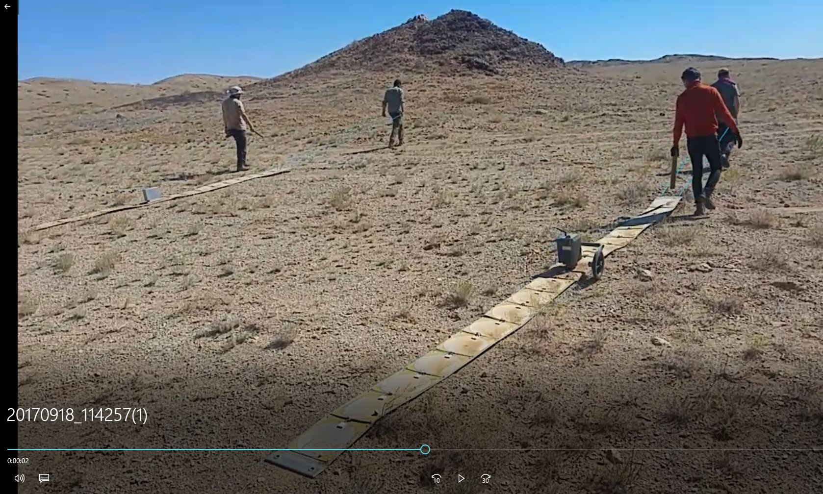
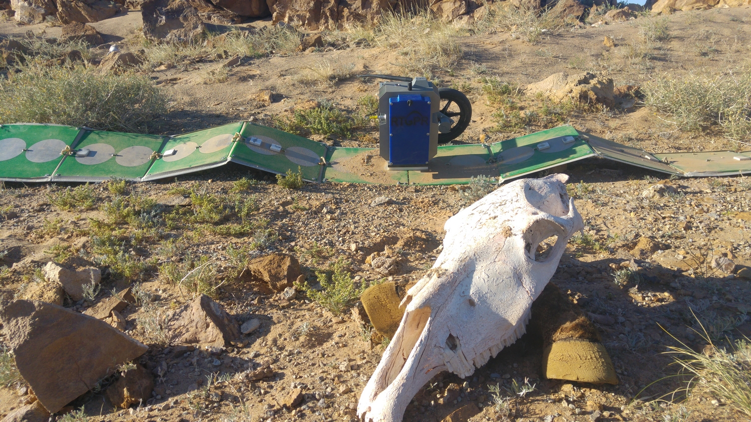
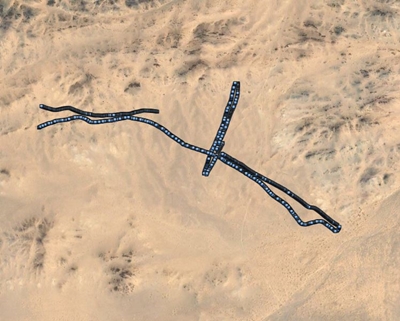
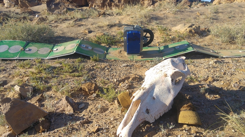
This is what the trajectories of GPS points in the desert look like.
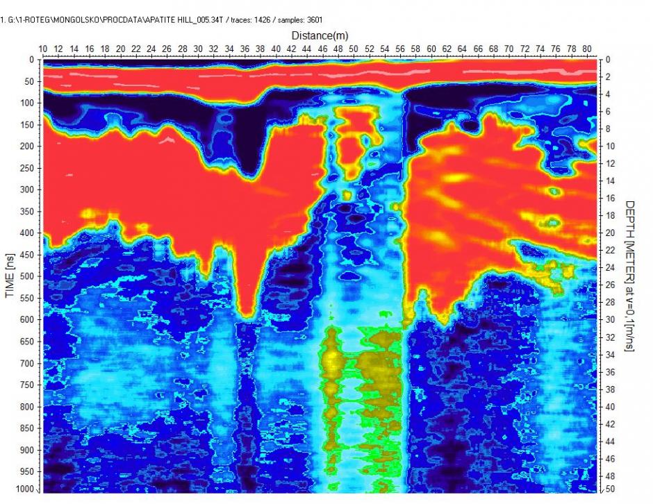
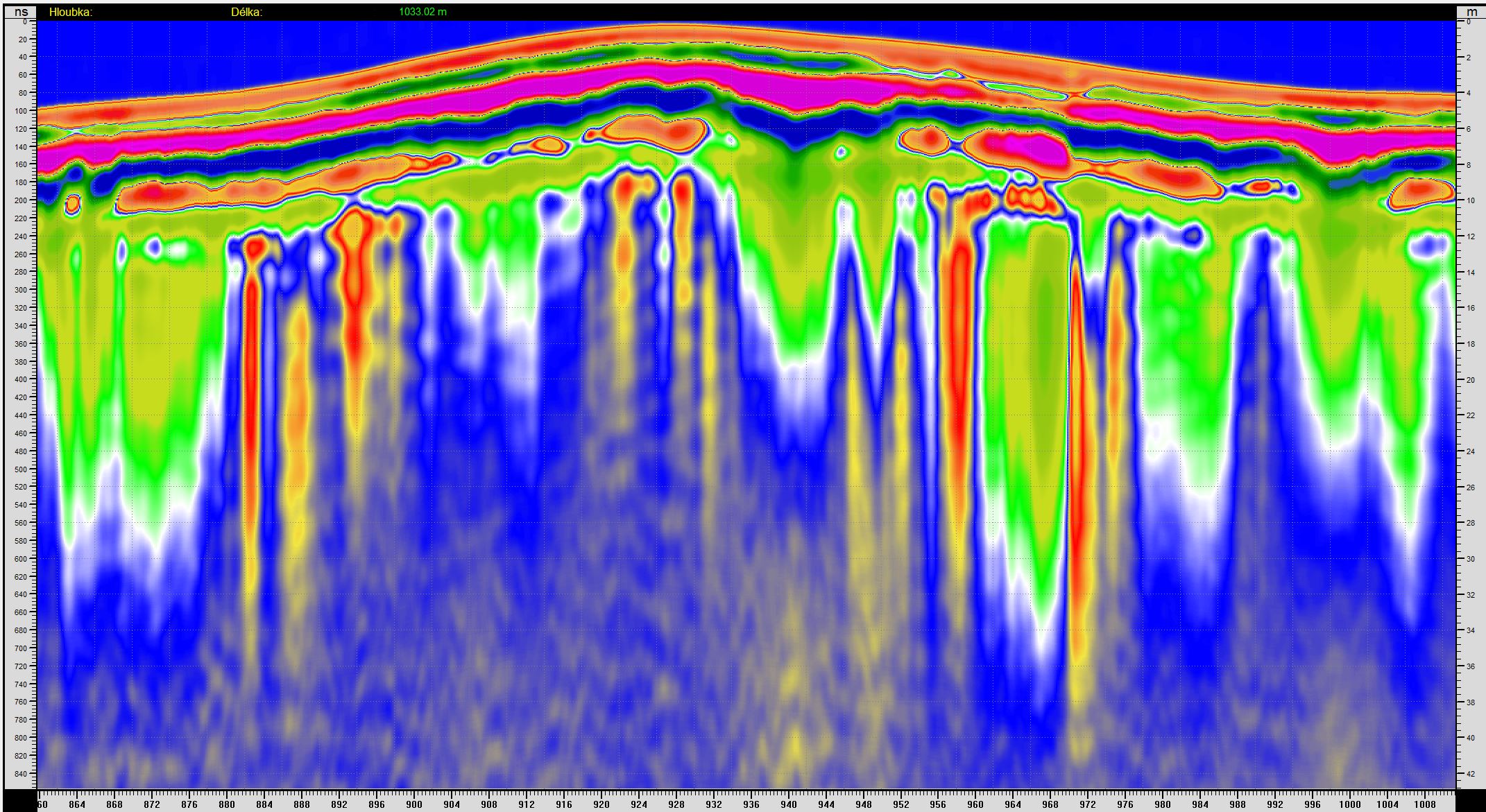
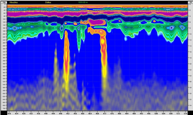
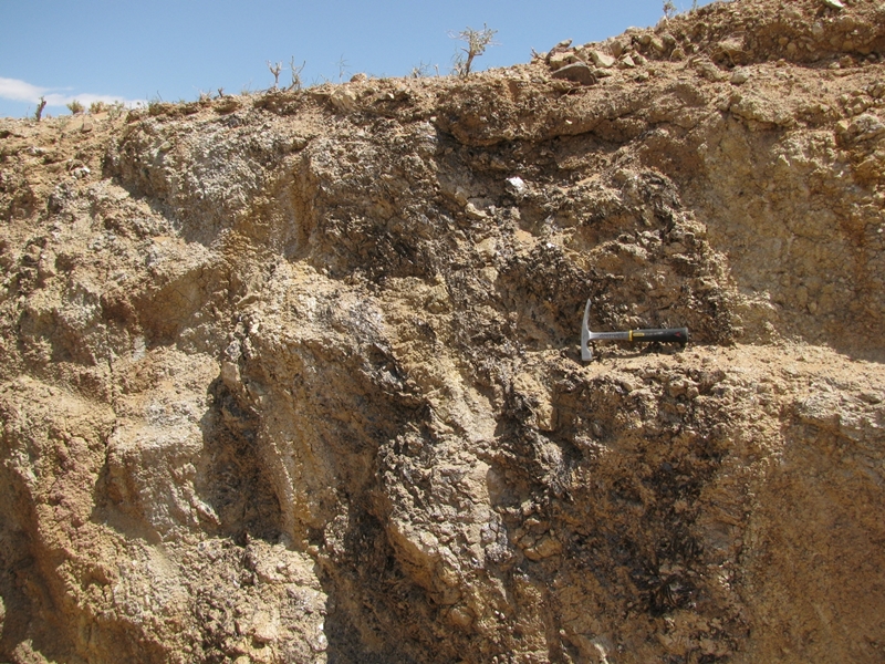
Ascent of apatite minerals with scattering on the surface.

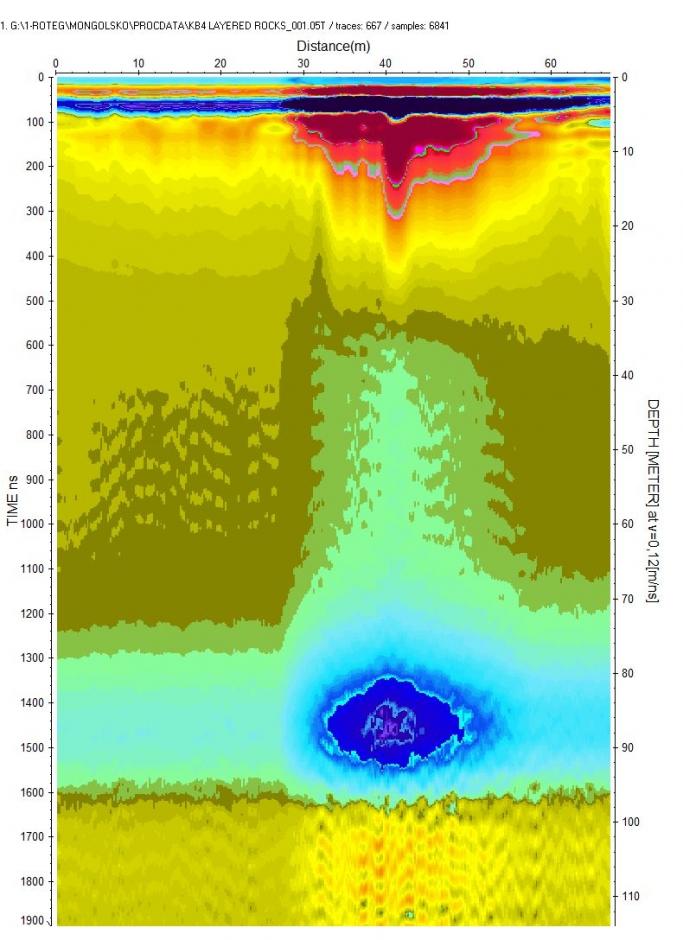
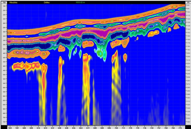
A crack in the area of rocks with a distinct layered structure. Chemical changes, weathering.

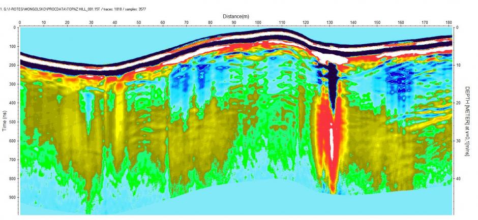
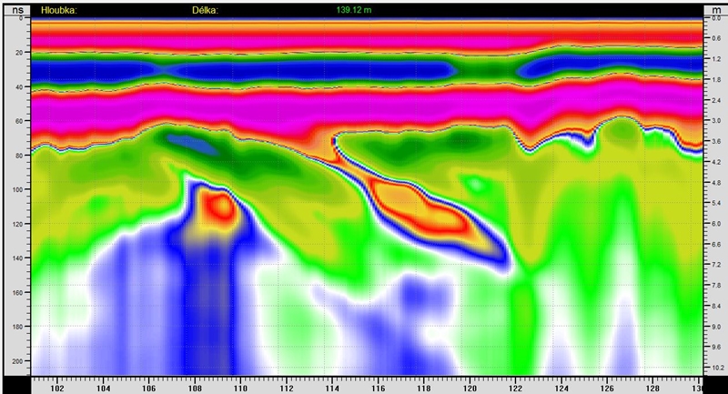
Topaz area.

Several profiles in the mountains with the occurrence of carbonates.
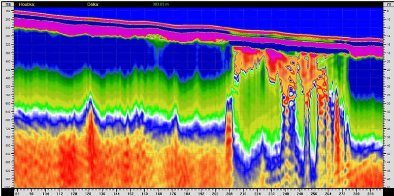

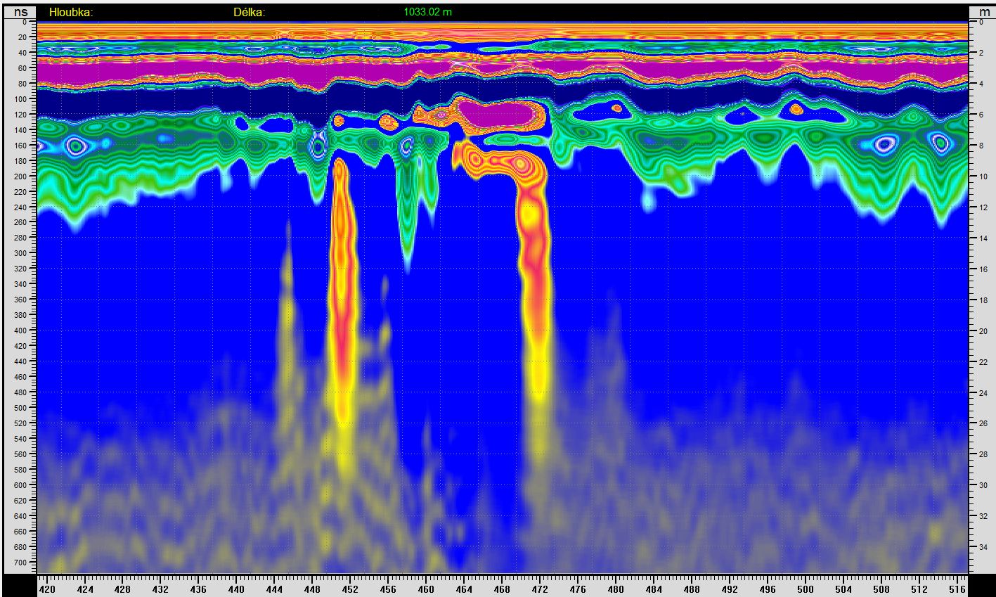
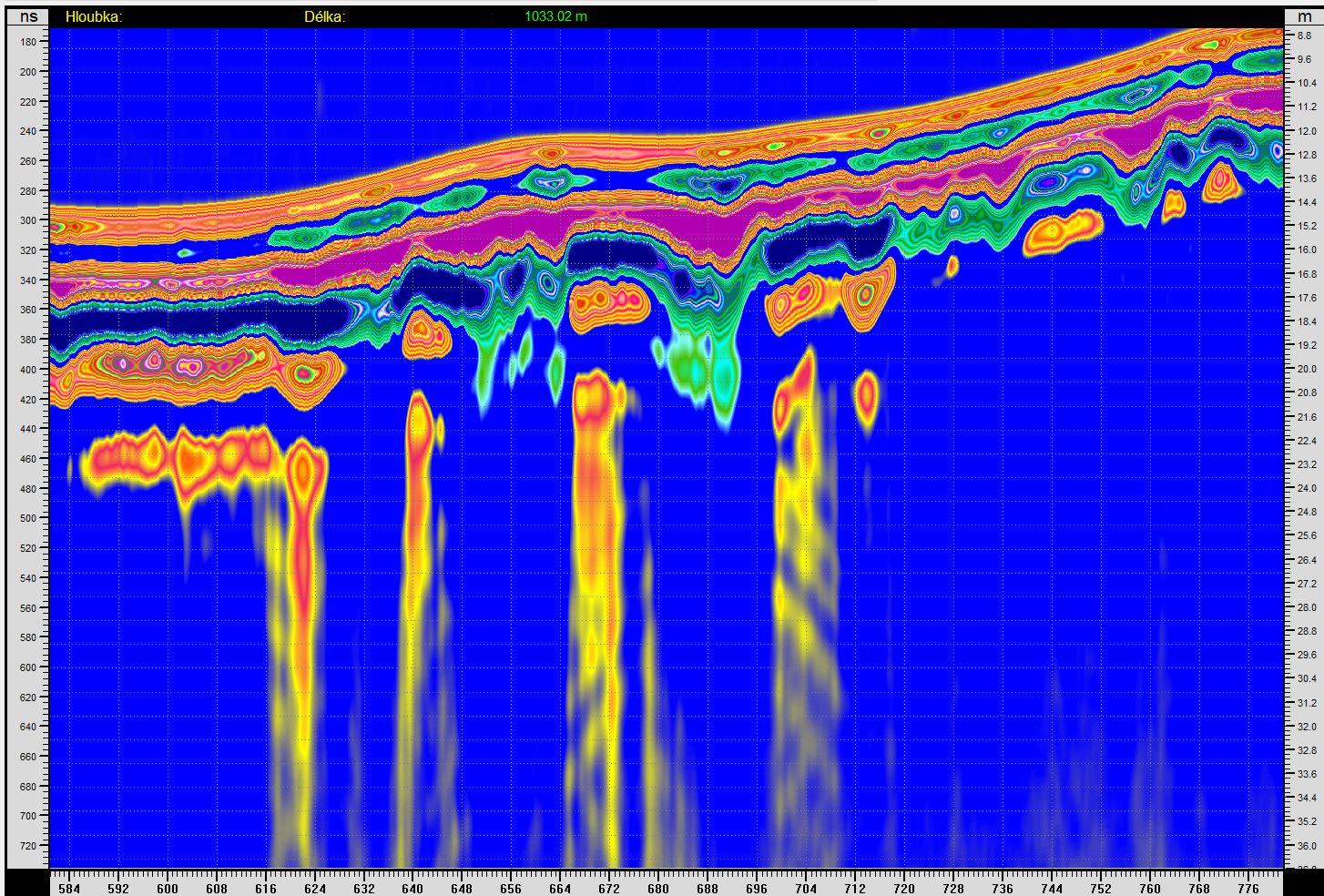
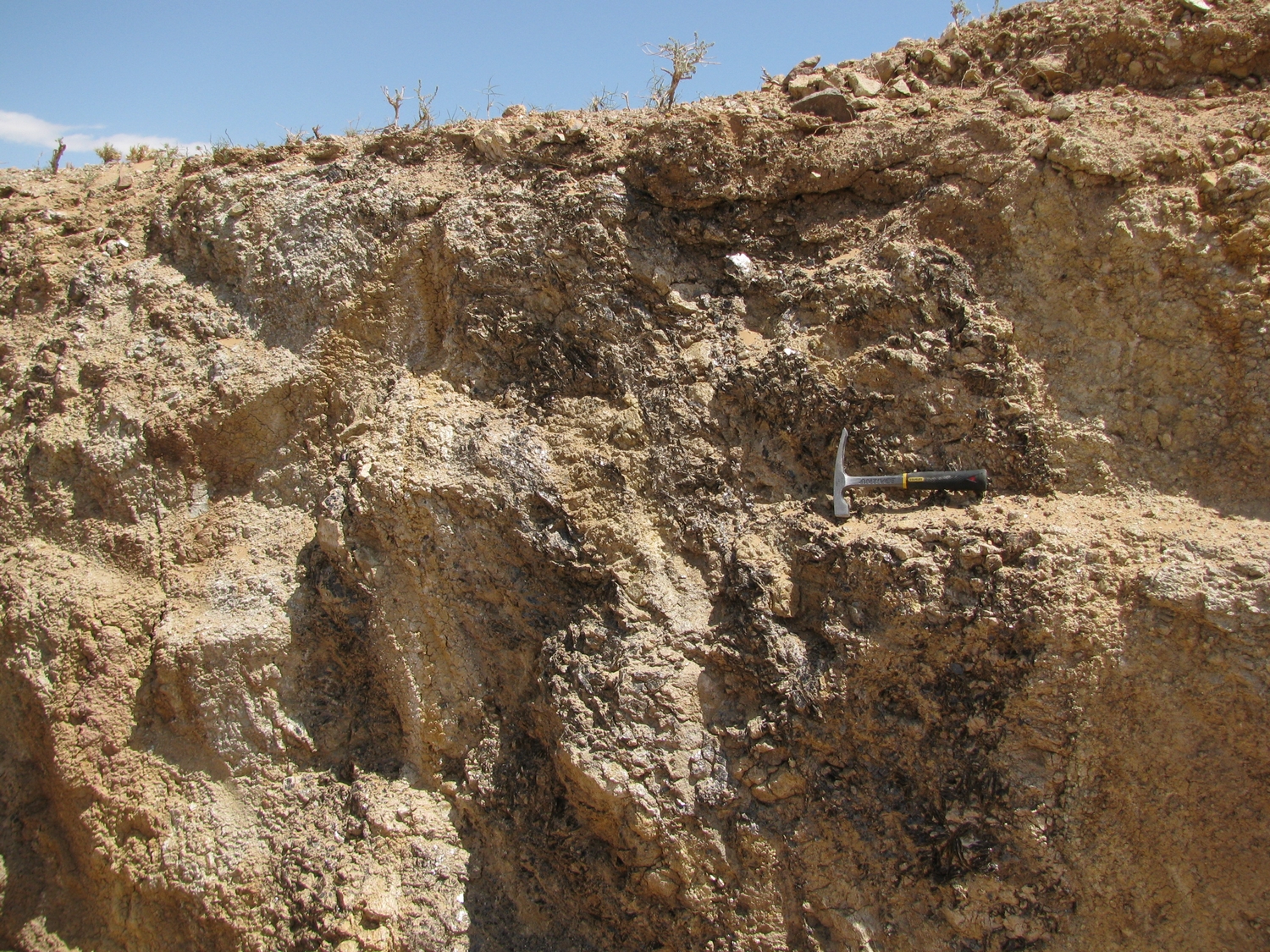
Ascent of the pegmatite vein.

|