Process of GPR measurement
Modular system is used for GPR measurement. The antennas 25, 50 MHz can be towed by hand or behind a car; a cart for antennas 150, 300, 500 MHz can be towed by hand or behind an ATV.
Archaeological objects are visible on the screen during measurement. Data transmission by Wi-Fi.
Comparison of GPRs
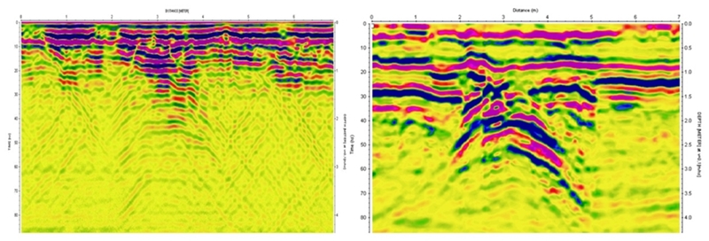
 Case: Sample profile, measured on the moisty, clayey soil at 200 MHz frequency by conventional GPR and our new GPR. A concrete pipe, diameter of 30 cm, is located at a depth of 1.5 meters. Case: Sample profile, measured on the moisty, clayey soil at 200 MHz frequency by conventional GPR and our new GPR. A concrete pipe, diameter of 30 cm, is located at a depth of 1.5 meters.
Localization of GPR measurement
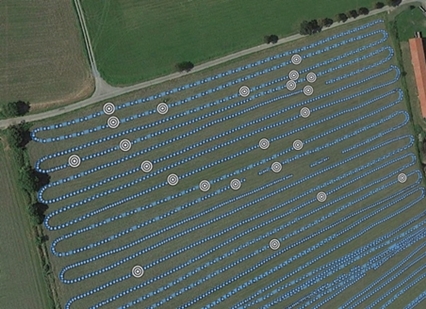
 Case: Agricultural area of 4 hectares extent, GPS providing quick orientation on large areas, GPR towed by ATV, 2 hours measuring time, marked archaeological anomalies. Case: Agricultural area of 4 hectares extent, GPS providing quick orientation on large areas, GPR towed by ATV, 2 hours measuring time, marked archaeological anomalies.
|