|
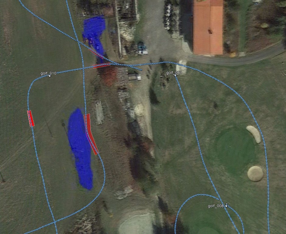
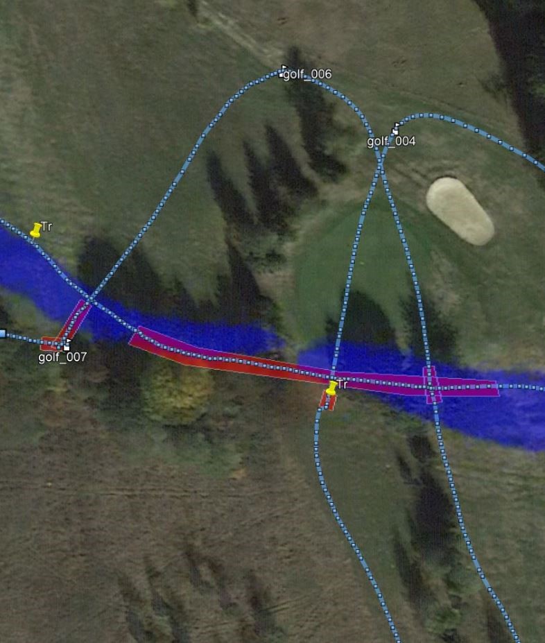
The search for water was also tested according to data from satellite measurements, which are able to find water to depths of several kilometers. We managed to obtain data from the edge of our republic in the Cheb region. Only compliance with satellite measurements was tested, so far the wells have not been drilled, but they are planned. We will complete the results. Blue areas – water according to the satellite. The red bars on the profiles show places where water is present.
 
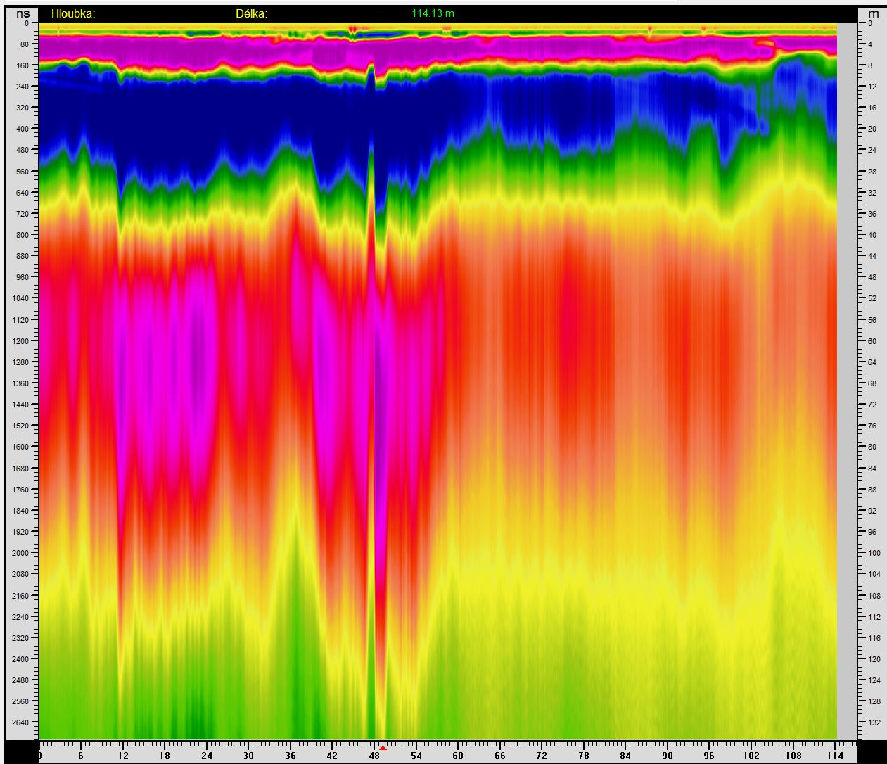
Radargrams for a satellite measurements. More water is again near the cracks.
 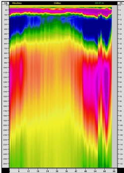
Compliance with a satellite measurements is very good, but again, there is no information about the amount of water. However, the advantage of georadar measurement is the price, which is more than 50 times lower for georadar.
|